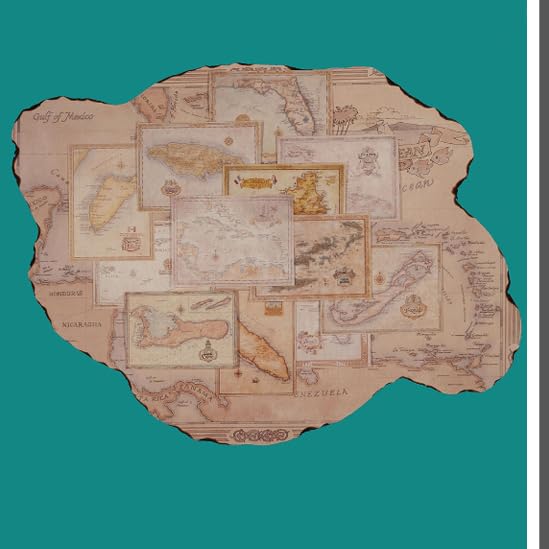
The Caribbean,
Mapped.
Discover beautifully detailed maps of the Caribbean islands, created for collectors, travelers, history enthusiasts, and anyone who appreciates the region's unique geography.
Detailed Caribbean Maps
Explore the islands through carefully illustrated maps and charts.
Made for Display
Designed to look right at home on your wall, desk, or favourite space.
Printed for Collectors
Quality prints created for those who appreciate maps, geography, and the Caribbean.
Caribbean Maps
& Charts
Browse our collection of detailed maps featuring the islands, coastlines, and regions that make the Caribbean one of the world's most fascinating places.
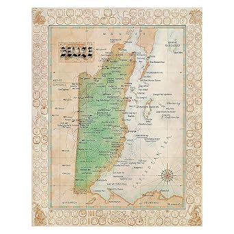
One Treasure Limited Antique Vintage Old World Caribbean Belize Map
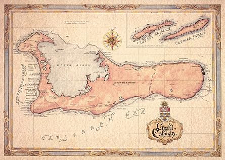
One Treasure Limited Antique Vintage Old World Caribbean Grand Cayman Islands Map
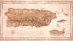
One Treasure Limited Antique Vintage Old World Caribbean Puerto Rico Island Map
Explore by Region
From the largest islands to the smallest corners of the Caribbean, explore maps organised by region.
Greater Antilles
Cuba, Jamaica, Hispaniola & Puerto Rico
View Maps →Virgin Islands
Explore the islands of the northeastern Caribbean
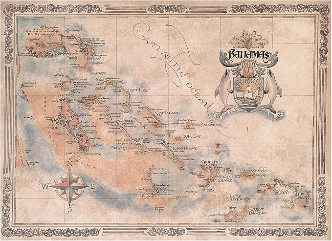
View Maps →The Bahamas
Maps of the islands and surrounding waters
View Maps →United States
Explore maps beyond the Caribbean
View Maps →European Charts
Historic regions and destinations from across Europe
View Maps →
More Than
Just a Map.
Each piece is designed to celebrate the geography, character, and beauty of the Caribbean. Our maps bring together detailed illustration and a timeless presentation, creating artwork that is as interesting to explore as it is to display.
What Our Customers
Are Saying
See what customers have to say about their maps and their experience shopping with us.
Find Your Favourite
Part of the Caribbean.
Explore our collection of Caribbean maps and discover the islands, regions, and coastlines that mean something to you.